The preservation of Mediterranean ecosystems has found a crucial ally in technology for anticipating disasters. In the province of Castellón, the fight against fire has evolved into an advanced forest management model that uses digitalization to protect thousands of hectares of high ecological value. Through a network of smart devices, the aim is to drastically reduce response times to any outbreak of fire.
This strategy relies not only on traditional monitoring but also on an interconnected infrastructure that allows for real-time tracking of the forest's condition. Thanks to collaboration with specialized companies, several municipalities in the Castellón province have strengthened their environmental and technological security , placing them at the forefront of Europe in the use of digital tools applied to nature conservation.
Continuous surveillance in strategic locations in Castellón
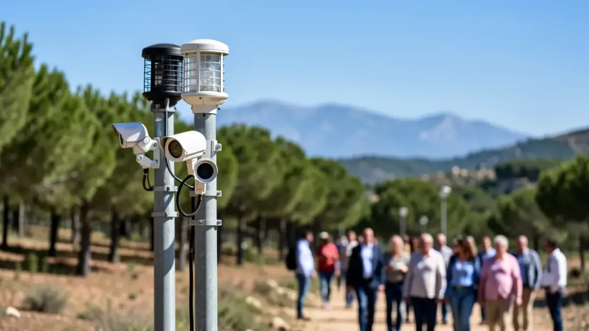
The implementation of these systems is being carried out by the company Pyro Fire Extinction, which has already deployed its technology in important areas such as the Sierra Calderona, the Espadán-Mijares Commonwealth, and the municipality of Montanejos. These control nodes not only monitor but also process critical climate data to generate an updated risk map that predicts the probability of ignition up to ten days in advance.

The system relies heavily on the Hispasat satellite network , ensuring constant data transmission and independence from conventional telephone infrastructure, which is often inadequate in rugged terrain. Using artificial intelligence, the installed thermal imaging cameras can detect incipient plumes of smoke , sending immediate alerts to control centers before the fire is visible to the naked eye.
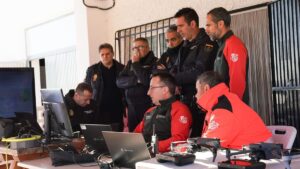
In towns like Montanejos, this platform has been operational for a full year, running 24 hours a day to serve as an essential complement to human surveillance . The information captured by the cameras and environmental sensors is transmitted through the LoRa network, a long-range technology that ensures the Local Police receive real-time alerts to verify any anomalies before calling 112.
Data analysis for precision prevention
Technical reports obtained over the past few months reveal the importance of this deployment. According to records analyzed in the spring, the Sierra Calderona mountain range registered 36 days of high or extreme risk, exceeding the figures for other nearby areas. This data, which includes measurements of wind speed and relative humidity, allows authorities to take preventative measures such as restricting hiking on days of maximum risk.
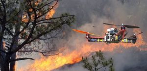
In addition to ground monitoring, the deployment includes the use of drones to monitor forests and conduct aerial patrols to detect suspicious hotspots. Complementing this surveillance, smart fire extinguishing capsules have been installed at strategic points. These devices are designed to react autonomously to sudden temperature increases, releasing extinguishing agents that can halt the spread of flames in their earliest and most critical stage.
Protection for hikers and ecosystem restoration
One of the most ambitious projects currently under development is the creation of a direct alert system for mountain users. The intention is to leverage the Lora network infrastructure to send emergency messages to the mobile devices of hikers in areas with poor coverage, ensuring they receive alerts about a sudden forest fire even if they lack coverage from their usual mobile operator.
In the long term, all the information gathered by these climate sensors will have a second life in forest restoration. Historical data on soil temperature and moisture, similar to that analyzed in vegetation indices and environmental sensors , will facilitate forest restoration efforts, helping technicians identify the optimal conditions for successful reforestation and thus consolidating smart forest management that protects the territory holistically.